|
![[Exploration header]](explore.gif)
Peter
Warren Dease and Thomas Simpson - 1836-1839
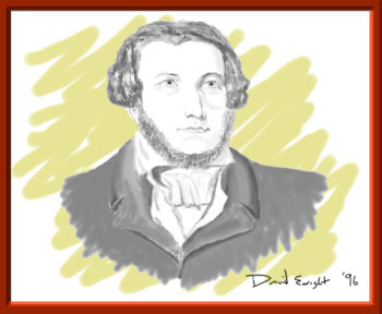
Thomas Simpson
Accomplishments:
- the focus of the voyage was to complete the
coastal survey of the area
- Dease and Simpson journeyed from Fort Garry (now
Winnipeg), reached the mouth of the Mackenzie and
continued west along the coast past Return Reef
until stopped by ice at Cape Simpson
- there, Simpson set out on foot, reached Point
Barrow and took possession of the country in the
name of the King
- the party reached the mouth of the Coppermine
River the next spring after having wintered in
Fort Confidence
- at Turnagain Point they were again stopped by ice
and Simpson once again set out on foot to explore
the coast
- the unfavourable ice conditions continued for
Dease and the party was forced to return to Fort
Confidence for the winter
- in the spring, Dease and Simpson passed Chantrey
Inlet and turned back shortly after passing
Castor and Pollux River
- on the return trip the party travelled along the
south coast of King William Island as far as Cape
John Herschel before re-crossing Simpson Strait
- they crossed to the north shore at Cape Colborne
and followed the Victoria Island shore of Dease
Strait to beyond Cambridge and Wellington Bays,
re-crossed to the mainland and made their way up
the Coppermine River and back to Fort Confidence
Interesting Facts:
- Simpson offered to conduct another party the next
year, but approval was slow in reaching him so he
decided to go to England himself
- however, a few days after leaving the fort,
Simpson was shot and killed in circumstances that
remain mysterious
View
Voyage Route
Information
taken from Arctic Canada, Volume I, Third Edition, 1982
  ![Download Pkzip]](dlpkzip.gif)
|