 Official Name:
In 1960, West Hamilton Park was renamed Alexander Park in honour of the Governor-General of Canada from 1946 to 1952, Field Marshal Harold Rupert Leofric George Alexander (1891-1969). A celebrated British soldier in both World Wars, Alexander was named a viscount in 1946, and First Earl Alexander of Tunis in 1952.
The Alexander Park lands were originally a rifle range for Hamilton's 13th Royal Regiment from around 1890. In 1945, when the rifle ranges were no longer used, local residents asked the Parks Board if they could use this land for a ballfield. The Parks Board spoke to the the federal government, who still owned the ranges, and received unwritten approval to "play ball" that same year. Two years later, on June 1, 1947, the City bought the land for $4,550. Basic park development was finished in 1954.
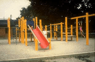
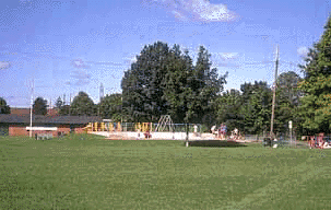
The wading pool was added in 1960, and the first two official baseball diamonds were built in 1963.
The wall that held the targets for the old rifle range can still be seen in the woods near the park.
