Burin Peninsula
Burin

Photos: Burin
The town of Burin is located on the eastern side of the Burin Peninsula in Placentia Bay. It is situated on a small
peninsula and along the western side of Burin Inlet which extends inland approximately 8 km (5 mi). The town of Burin
is not just one town but a combination of several individual settlements which developed in the area, some dating back
to the early 18th Century.
Click the thumbnail to enlarge the image
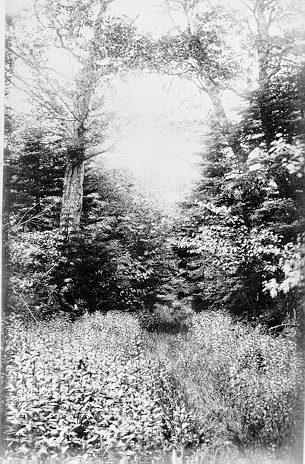
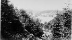
 Woods between Burin and Garnish
|
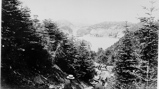
 Boboy (Beaubois). Near Burin. This small fishing community is located near the entrance to Montier Bay.
|
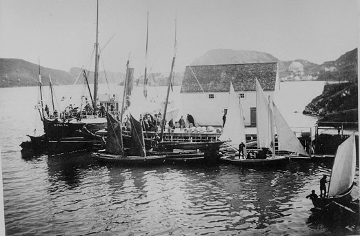
 S.S. "Curlew" at wharf, Burin.
|
 Burin (Showing back of Parsonage)
|
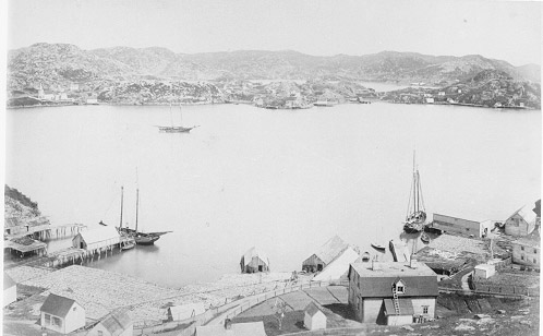
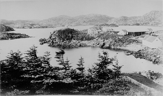
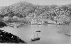
 Burin
Burin
|
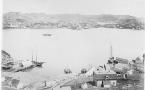
 Ship Cove, Burin
|
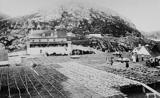
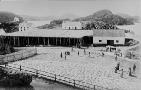 Burin, handling fish. Note the large fish flakes with fish drying in the foreground.
|
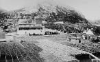 Burin (Fish Flakes). Note the large fish flakes with fish drying in the foreground.
|
Burin | St. Lawrence | Fortune | Grand Bank |
Avalon Region | Burin Peninsula | Northeast Region | Labrador Region | Misc. Photos | Interactive Map
About This Project | Biography: Joseph Laurence | Feedback Is Welcomed | Copyright Info.


 This digital collection was produced under contract to the
SchoolNet Digital Collections Program, Industry Canada.
|