Burin Peninsula
Grand Bank

Photos: Grand Bank
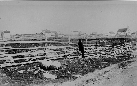
The town of Grand Bank is situated on the western side of the Burin Peninsula near the mouth of Fortune Bay.
It is built along both sides of Grand Bank Brook, a small shallow brook which forms a small
harbour where it empties into the Bay. The name Grand Bank is believed to be French in origin
and in French census returns of the late Seventeenth Century is listed as Grand Banc or Grand Banq, meaning big or large bank.
Click the thumbnail to enlarge the image
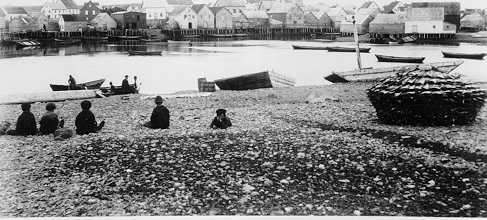
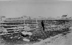
 Grand Bank. Near the mouth of the brook from the eastern side, the shallow harbour and fishing
premises on the western side are in evidence.
Grand Bank. Near the mouth of the brook from the eastern side, the shallow harbour and fishing
premises on the western side are in evidence.
|
 Grand Bank. On the far right side is the Methodist Church, built in 1876 and replaced in 1965.
|
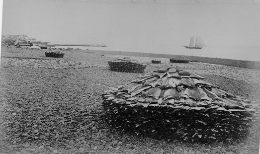
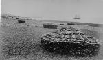 Bank fish on beach at Grand Bank.
Fish was stacked in round piles and covered with tarpaulins to protect it during the night.
In the daytime it was spread out on the rocks to dry. This work was done by women.
Bank fish on beach at Grand Bank.
Fish was stacked in round piles and covered with tarpaulins to protect it during the night.
In the daytime it was spread out on the rocks to dry. This work was done by women.
|
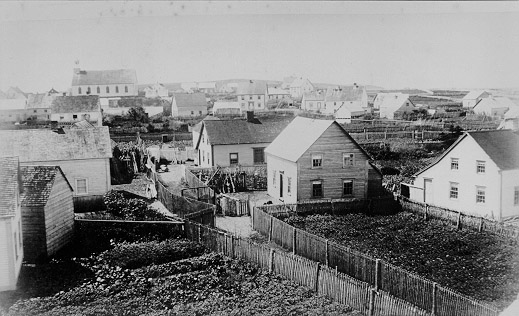
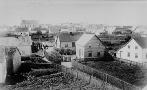 Grand Bank. From present - day Water Street looking south toward the Methodist Church.
|
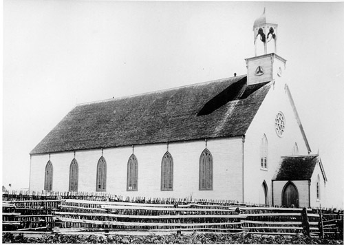
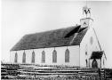 Grand Bank Church. This Methodist Church served the community from 1876 to 1965.
Its belfry was replaced with two towers, one on either side of the front corners, in 1890.
Grand Bank Church. This Methodist Church served the community from 1876 to 1965.
Its belfry was replaced with two towers, one on either side of the front corners, in 1890.
|
Burin | St. Lawrence | Fortune | Grand Bank |
Avalon Region | Burin Peninsula | Northeast Region | Labrador Region | Misc. Photos | Interactive Map
About This Project | Biography: Joseph Laurence | Feedback Is Welcomed | Copyright Info.


 This digital collection was produced under contract to the
SchoolNet Digital Collections Program, Industry Canada.
|