Avalon Region

Holyrood

Photo_Top_Nav


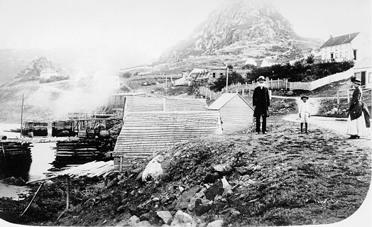
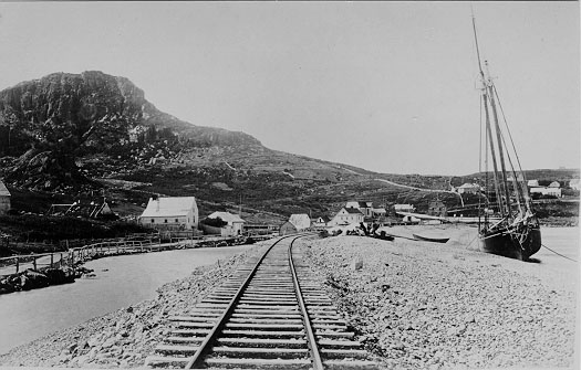
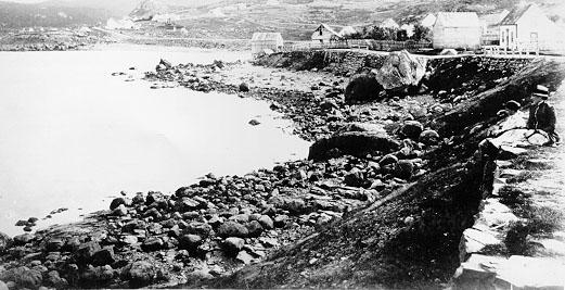
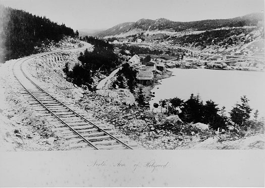
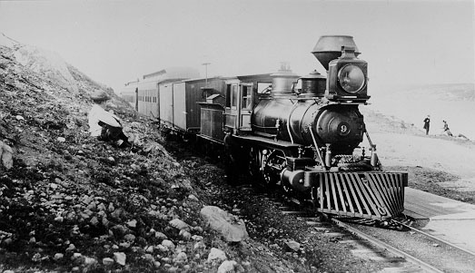
Photos: Holyrood

Holyrood is located at the head of Conception Bay, about 48 km (30 mi) southwest of St. John's. The community is spread out along the southern shoreline of a deep, well-protected, 7.25 km- (4.5 mi-) long inlet of Conception Bay, known as Holyrood Bay. According to M.F. Howley the name is from Old English and originally meant "Holy Cross."


Click the thumbnail to enlarge the image
Avalon Region Holyrood
The hill in the background has a lighted cross at its pinnacle.

Avalon Region Holyrood

Avalon Region Holyrood (Head of Conception Bay)

Avalon Region North Arm of Holyrood

Avalon Region Newfoundland Locomotive at Holyrood
The Newfoundland railway first reached Holyrood in 1883.

Avalon Region Newfoundland Locomotive at North Arm. The Newfoundland railway first reached Holyrood in 1883.

Conception Harbour | Salmon Cove | Petty Harbour | Placentia | Carbonear | Brigus | Holyrood | St. John's | Portugal Cove | Harbour Grace | Colinet | Salmonier | Topsail

Avalon Region | Burin Peninsula | Northeast Region | Labrador Region | Misc. Photos | Interactive Map

About This Project | Biography: Joseph Laurence | Feedback Is Welcomed | Copyright Info.


HELP HOME *** This digital collection was produced under contract to the
SchoolNet Digital Collections Program, Industry Canada.