Avalon Region
St. John's

Photos: St. John's
According to popular legend, the city of St. John's takes its name from the discovery of the
harbour by John Cabot on June 24, 1497, the feast day of St. John the Baptist. Where Cabot
actually landed in North America remains, of course, a matter of some debate, but few scholars
consider it likely that he ever visited St. John's. In any case, by the early 1500s, St. John's Harbour was well-known
to European fishermen and was identified on various European maps. "The first view of the harbour of St. John's is very
striking", observed English geologist Joseph Jukes in 1839; its "lofty precipitous cliffs, of hard dark red sandstone and
conglomerate, range along the coast with deep water close at their feet."
Click the thumbnail to enlarge the image
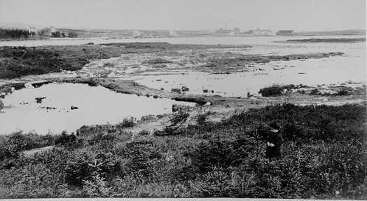
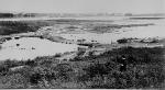 Monday's Pond and Rope Walk:
Over time the name has changed to 'Mundy Pond' and the area has developed into a mainly residental area. The Rope Walk area now known as 'Ropewalk Lane' is used mainly for commerical purposes. The area around pond has been developed into a walking trail.
Monday's Pond and Rope Walk:
Over time the name has changed to 'Mundy Pond' and the area has developed into a mainly residental area. The Rope Walk area now known as 'Ropewalk Lane' is used mainly for commerical purposes. The area around pond has been developed into a walking trail.
|
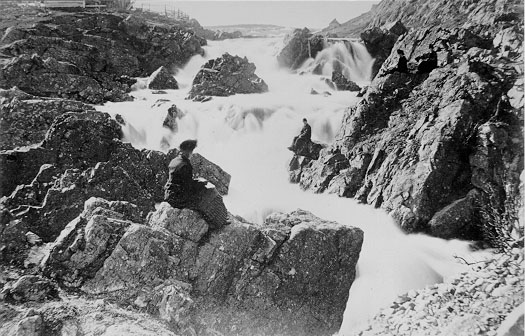
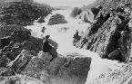 Falls at Quidi Vidi.
Quidi Vidi is a small fishing village on the eastern outskirts of St. John's.
Falls at Quidi Vidi.
Quidi Vidi is a small fishing village on the eastern outskirts of St. John's.
|
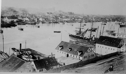
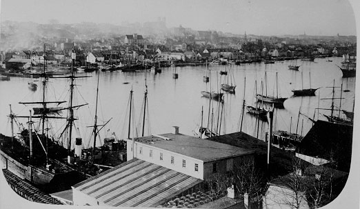
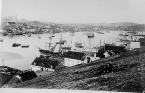
 St. John's Town and Harbour. View from the south side of the harbour.
|
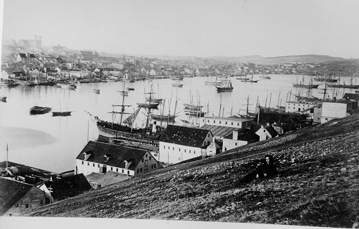
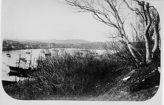
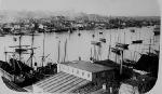
 St. John's Town and Harbour
|
 St. John's Town and Harbour
|
 St. John's Town and Harbour
|
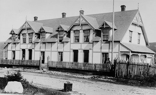
 Hon. C. R. Ayre's Country Houses. Charles Robert Ayre (1819 - 1889) was a prominent businessman, member of the House
of Assembly and supporter of Methodism.
Hon. C. R. Ayre's Country Houses. Charles Robert Ayre (1819 - 1889) was a prominent businessman, member of the House
of Assembly and supporter of Methodism.
|
 Harbour and Narrows, St. John's. The Narrows is the entrance to St. John's harbour.
|
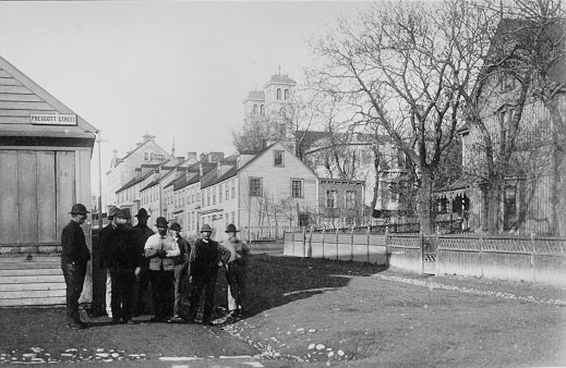
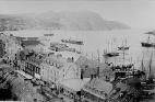
 Rawlins Cross, Saint John's:
Formed by the intersection of Monkstown Road, Prescott Street and Military Road, Rawlins Cross has been a St. John's landmark and gathering place since the 1840s.
Several of the buildings in the image survived the 1892 fire and are still standing.
Rawlins Cross, Saint John's:
Formed by the intersection of Monkstown Road, Prescott Street and Military Road, Rawlins Cross has been a St. John's landmark and gathering place since the 1840s.
Several of the buildings in the image survived the 1892 fire and are still standing.
|
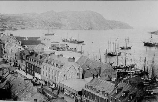
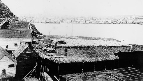
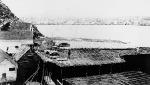 East End of Saint John's:
This view is taken from the south side of St. John's looking at the east end. Fish was plentiful in the 1880's as you can see the huge fish flakes used for drying fish.
East End of Saint John's:
This view is taken from the south side of St. John's looking at the east end. Fish was plentiful in the 1880's as you can see the huge fish flakes used for drying fish.
|
Conception Harbour | Salmon Cove | Petty Harbour | Placentia | Carbonear | Brigus | Holyrood | St. John's | Portugal Cove | Harbour Grace | Colinet | Salmonier | Topsail
Avalon Region | Burin Peninsula | Northeast Region | Labrador Region | Misc. Photos | Interactive Map
About This Project | Biography: Joseph Laurence | Feedback Is Welcomed | Copyright Info.


 This digital collection was produced under contract to the
SchoolNet Digital Collections Program, Industry Canada.
|