Avalon Region
St. John's Page 6 of 6

Photos: St. John's Page 6 of 6
Click the thumbnail to enlarge the image
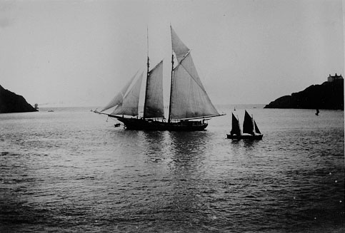
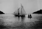 Banker in the Narrows: A banker is a fishing schooner which fished mainly on the Grand Banks, the rich fishing grounds
off the south coast of Newfoundland.
Banker in the Narrows: A banker is a fishing schooner which fished mainly on the Grand Banks, the rich fishing grounds
off the south coast of Newfoundland.
|
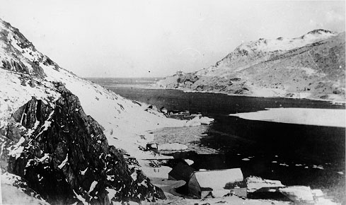
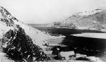 The Narrows in Winter. The Narrows is the entrance to St. John's harbour.
|
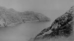
 Narrows, St. John's. The Narrows is the entrance to St. John's harbour.
|
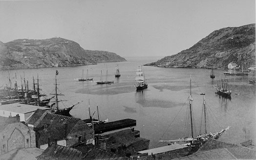
 Entrance to St. John's Harbour. The entrance to St. John's harbour is more commonly known as the Narrows.
|
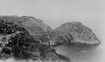 Cuckhold's Head: Cuckhold's Head forms the northern limit of Cuckhold's Cove, a small cove situated between St. John's and Quidi Vidi.
|
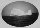 Iceberg: Icebergs are very common off the coast of Newfoundland during the spring. This one is located approximately 5/6 km (3/4 mi) from entrance to St. John's harbour.
|
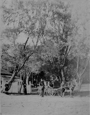
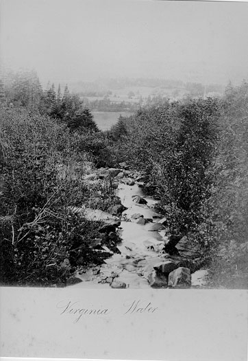
 Virginia Water: In the 1880s, this area was a prominent location for summer homes. Today it is a subdivision known as 'Virginia Park."
|
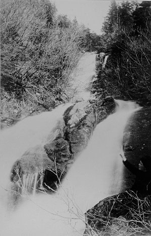
 Luke's Brook, St. John's.
|
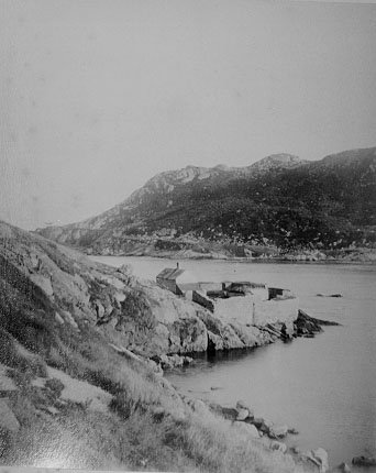
 North Battery, St. John's. The remnants of the
British defense battery are visible in the centre of the picture.
North Battery, St. John's. The remnants of the
British defense battery are visible in the centre of the picture.
|
 In the 1880s, this area was a prominent
location for summer homes. Today it is a subdivision known as "Virginia
Park".
In the 1880s, this area was a prominent
location for summer homes. Today it is a subdivision known as "Virginia
Park". |
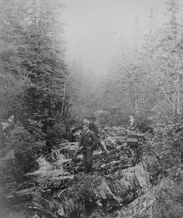
 Luke's Brook, St. John's
|
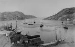
 Duckworth and Water Streets: Water Street is to the right while Duckworth is to the left. The polygon-shaped building in the middle of the right side of the picture is the city's skating rink.
|
Conception Harbour | Salmon Cove | Petty Harbour | Placentia | Carbonear | Brigus | Holyrood | St. John's | Portugal Cove | Harbour Grace | Colinet | Salmonier | Topsail
Avalon Region | Burin Peninsula | Northeast Region | Labrador Region | Misc. Photos | Interactive Map
About This Project | Biography: Joseph Laurence | Feedback Is Welcomed | Copyright Info.


 This digital collection was produced under contract to the
SchoolNet Digital Collections Program, Industry Canada.
|