Avalon Region

Topsail

Photo_Top_Nav


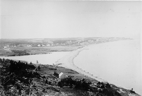
Photos: Topsail

Topsail was probably named for nearby Topsail Head, which is visible from the opposite side of the Bay. The Head is identified on eighteenth-century maps of Conception Bay, but there is no record of settlement before about 1820.


Click the thumbnail to enlarge the image
Avalon Region Topsail from Carter's Grove

Avalon Region Falls at Topsail

Avalon Region Topsail Bay

Avalon Region Topsail Hill

Conception Harbour | Salmon Cove | Petty Harbour | Placentia | Carbonear | Brigus | Holyrood | St. John's | Portugal Cove | Harbour Grace | Colinet | Salmonier | Topsail

Avalon Region | Burin Peninsula | Northeast Region | Labrador Region | Misc. Photos | Interactive Map

About This Project | Biography: Joseph Laurence | Feedback Is Welcomed | Copyright Info.


HELP HOME *** This digital collection was produced under contract to the
SchoolNet Digital Collections Program, Industry Canada.