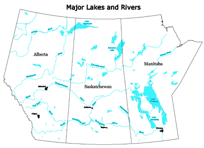
The Red River, together with the Assiniboine and Souris Rivers, drains the southern and central prairies. The runoff from this area is relatively low, particularly from the area drained by the Assiniboine. Peak discharge comes mostly from melting snow in the spring. Rainfall is comparatively low and the flat topography makes the runoff from rain much lower yet. The average annual yield of this basin is 3,330,400 cubic decametres.
The Saskatchewan River basin, which drains the major part of the area, has characteristics which make it quite different from either the Winnipeg or the Red sub-basins. Through this basin, the North and South Saskatchewan Rivers flow, originating only a short distance from each other in the Columbia Icefields of the Rocky Mountains. Several major tributaries join each river as it descends from the foothills and reaches the highest prairie level. The South Saskatchewan flows southeasterly through the southern part of Alberta and southwestern Saskatchewan and then northerly to a confluence with the North Saskatchewan River in the second prairie level, east of Prince Albert. The North Saskatchewan River, from its origin, flows easterly near the northern fringe of the prairie to the confluence to form the Saskatchewan River.
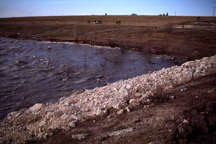
The valleys are deeply incised in the plains before the Saskatchewan River reaches the lowest prairie level. At this point the river traverses an enormous delta area, whose origin was erosion materials from the precipitous channels in the mountains and the down-cutting of the rivers through the plains. After meandering over the delta area the river reaches Cedar Lake. From this point it flows down a steep gradient to Grand Rapids and into Lake Winnipeg.
Hydrologically, these two parts are of extreme importance in spite of their limited area. The mountains produce a comparatively constant volume of water in the summer when the snow melts in the higher icefields. The foothills also contribute much runoff, both from snow melt in the spring and from heavy rainfall in the late spring and summer. There is considerable variability in the annual peak discharge and annual volumes, influenced by the yearly precipitation in the form of snow, the rapidity of the snow melt, the existing soil moisture conditions, and the amount of rainfall in the foothills immediately following or during snow melt.
The North and South Saskatchewan Rivers are important for the Prairies since they provide
a necessary water supply to the greater part of the Prairies, particularly southern Alberta and
western and southern
Saskatchewan, which lie in zones of rainfall deficiency. More than 90 per cent of the water in
these rivers is
supplied to them by the mountains and foothills in the form of dependable tributaries.