| The Seigniorial System Northeast of Trois-Rivières, 1709 |
|
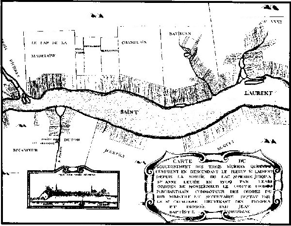
| This map drawn in 1709 represents land divisions northeast of Trois-Rivières. It shows the importance of the hydrography in settlement patterns of the Seigniorial System. Most of the first rows were by then settled or attributed. Source: Montreal Public Library. |