|
|
Français | Help |
|
|
Important Notices |
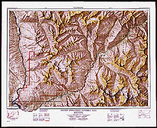
| Mount Revelstoke National Park, British Columbia, 1971 There are maps of every national park in Canada. The first, a map of Kootenay National Park in British Columbia, was published in 1928. The National Parks Act was not passed until 1930. Catalogue entry: Ref. No.: NMC 044642
|
|
|