 The climate of the
Prairies is classed as semi-arid. Minimum annual precipitation is 28
centimetres in the southern region approximately along the Alberta Saskatchewan boundary.
Precipitation increases
to the east, north and west to an average of 56 centimetres in eastern Manitoba, an average of 41
centimetres on the northern fringe, and 64 centimetres along the foothills of the Rockies. In the
Rockies, the average precipitation is 178 centimetres, providing most of the runoff to the
Saskatchewan River system.
The climate of the
Prairies is classed as semi-arid. Minimum annual precipitation is 28
centimetres in the southern region approximately along the Alberta Saskatchewan boundary.
Precipitation increases
to the east, north and west to an average of 56 centimetres in eastern Manitoba, an average of 41
centimetres on the northern fringe, and 64 centimetres along the foothills of the Rockies. In the
Rockies, the average precipitation is 178 centimetres, providing most of the runoff to the
Saskatchewan River system.
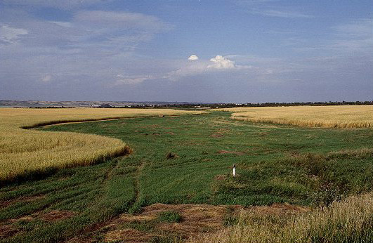
Records indicate a gross evaporation ranges of 51 to 96 centimetres per year from free surfaces; the corresponding net evaporation ranges from 13 to 64 centimetres. These high rates of evaporation, when combined with low annual precipitation, frequently create critical moisture conditions in the region. The Prairies would be a barren desert, like the Gobi in China or the Sahara in northwest Africa, if it were not for moisture supplied during the spring and autumn months by storms that meteorologists call the "cold lows".
Originating in the north Pacific Ocean, these storms are large-scale and cyclonic in nature, but lack the violent winds associated with typhoons, cyclones or hurricanes. In years of normal temperatures, several of these cold lows can bring precipitation to the southern Prairies during the spring months. Above average temperatures, in contrast, produce a dry spring. This latter condition was the main cause of the severe droughts of the 1930's, and also contributed to the recent drought years between 1977 and 1981. Dry periods in the Prairies tend to be cyclical in occurrence, and droughts of a five to ten year duration have been recorded.
About 25 per cent of annual precipitation falls as snow, but more than 75 per cent of the annual runoff is derived from snow melt in the spring. At this time of year, frost inhibits infiltration and improves runoff. Parts of Alberta and Saskatchewan experience drastic reduction in snow cover during winter months due to warm, dry chinook winds. Frequently this will eliminate snow melt runoff completely in these areas. The combination of these factors results in median annual unit runoffs ranging from 32 cubic decametres to 958 cubic decametres per square kilometre and considerable variability in runoff from year to year.
 One of the reasons that native prairie has been able to survive and adapt is
because of what
happens beneath the ground. Only 30 per cent of native prairie's plant life appear above the
ground. Native prairie plants are mainly perennials which grow complex root systems that reach
deep into the soil to find available water and soil nutrients.
One of the reasons that native prairie has been able to survive and adapt is
because of what
happens beneath the ground. Only 30 per cent of native prairie's plant life appear above the
ground. Native prairie plants are mainly perennials which grow complex root systems that reach
deep into the soil to find available water and soil nutrients.
Native prairie may have more than 250 different plant species including a wonderful variety of wild flowers, prairie sage and shrubs such as hoary sagebrush, winter fact, wild rose and western snowberry. Each of these plants are important to the prairie ecosystem.
Native prairie in Saskatchewan may be classified into three plant associations based on the
dominant species of grass. They are:
In some places, native prairie is almost gone. As prairie grasslands disappear, so does much of the wildlife that relies on it for their habitat. Today, the prairie region is the home of many endangered and threatened wildlife species, including the burrowing owl, the swift fox, the black tailed prairie dog, the black footed ferret, the loggerhead shrike, the ferruginous hawk - 18 species in all.
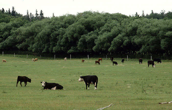
Prairie grasslands protect the prairie soil and water resources. Despite wind, rain heat and snow,
these plant communities help keep prairie topsoil in place and play an important role in the
hydrologic cycle. To protect native prairie, both the federal and provincial governments manage
community pastures. Conservation of prairie grasslands in community pastures depends on
land managers and cowboys who realize the value of the native prairie.
Both governments are extremely active in conserving, protecting and conducting research on
prairie grasslands and educating the public about it's value.