


|
Copyright/Sources
Before reproducing materials, images and graphical elements from the National Library of Canada's website, please read the copyright information found on the Important Notices page.
Pathfinders and Passageways
Copyright/Sources, page 21
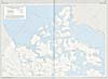 |
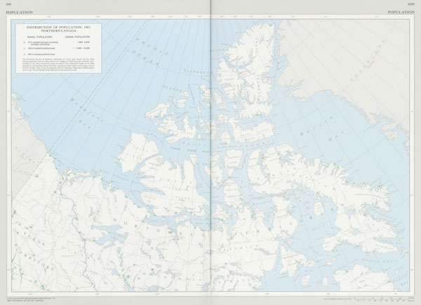
Distribution of Population in Northern Canada, 1961, 1974
© CDG Books Canada Inc.
Reproduced with the permission of CDG Books Canada Inc.
The National Atlas of Canada. Fourth edition. Toronto: Macmillan Company of Canada, 1974.
Source: National Library of Canada
|
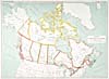 |
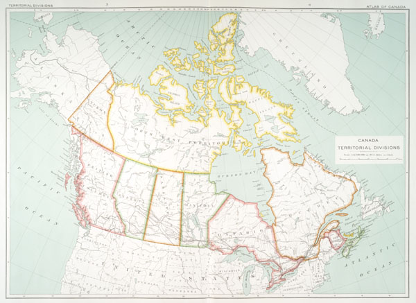
Canada's Territorial Divisions, 1915
© Crown / Department of the Interior Canada
Atlas of Canada. Revised and enlarged edition, prepared under the direction of J.E. Chalifour, Chief Geographer. [Ottawa]: Department of the Interior Canada, 1915.
Source: National Library of Canada
|
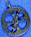 |
A 17th-century astrolabe found near Cobden, Ontario
© Canadian Museum of Civilization
Artifact 989.56.1
Photo S90-640
www.civilisations.ca
Source: Canadian Museum of Civilization
|
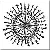 |
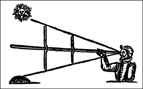
A mariner's compass
© Public Domain
Davis, John. The Seaman's Secrets. London: Thomas Dawson, 1607.
Source: National Library of Canada
|
 |
The Davis quadrant, or backstaff
© Public Domain
Davis, John. The Voyages and Works of John Davis, the navigator. London: Printed for the Hakluyt Society, 1880.
Source: National Library of Canada
|
 |
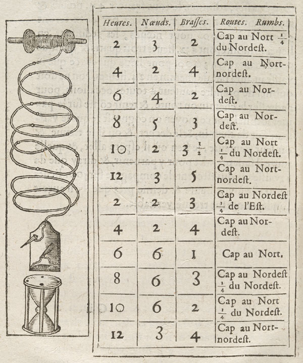
The "chip log" or "log and line" used by Champlain
© Public Domain
Champlain, Samuel de. Les Voyages de la Nouvelle France occidentale, dicte Canada: faite par le Sr. De Champlain, Xainctongeois, pour le Roy en la Marine du Ponant. Paris: Louis Sevestre, 1632.
Source: National Library of Canada
|
 |
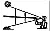
Observing through a sextant
© Public Domain
Credit: National Archives of Canada / C-028283
Source: National Archives of Canada
|
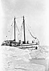 |
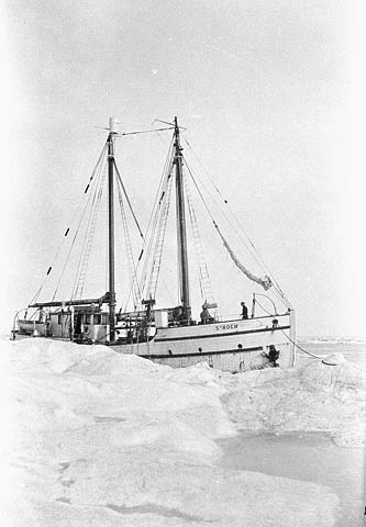
The RCMP vessel St. Roch in the ice
© Public Domain
Credit: National Archives of Canada / PA-176014
Source: National Archives of Canada
|
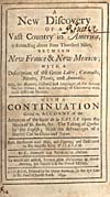 |
Title page of Hennepin's account
© Public Domain
Hennepin, Louis. A New Discovery of a Vast Country in America, Extending Above Four Thousand Miles Between New France & New Mexico: With a Description of the Great Lakes [
]. London: H. Bonwicke, 1699.
Source: National Library of Canada
|
Previous
|