|
See Also George Vancouver - Passageways: True Tales of Adventure for Young Explorers |
VANCOUVER'S GUIDE TO THE NORTHWEST COASTGeorge Vancouver (1757 - 1798)
Born in 1757, at King's Lynn, England, George Vancouver entered the Royal Navy at the age of 14. The following year, in 1772, he left on James Cook's ship for the southern continent, and was still on Cook's crew when he got to the northwest coast of America in 1778. When Cook had to stop at Nootka Bay for ship's repairs, Vancouver and his companions were the first known Europeans to land on the island that now bears his name. Vancouver received his lieutenant's commission in 1780 and spent nine years on war ships, mostly in the Caribbean Sea.
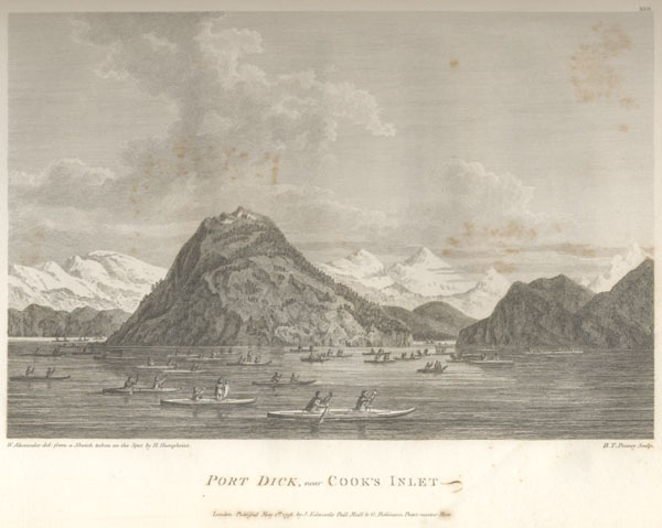
In 1791, the Admiralty assigned him to command an expedition to map the west coast of America, between 30º and 60º north latitude. He was also to seek out any navigable route that could eventually serve as a passage between the Pacific and the northwest Atlantic. As commissioner, he was also charged with meeting Francisco de Bodega y Quadra at Nootka to delineate England's and Spain's territorial rights as a result of the Nootka Bay Convention. Leaving England with two ships in April 1791, Vancouver went by the Cape of Good Hope, Australia, New Zealand and the Sandwich Islands (Hawaii) before reaching, one year later, the west coast of America, some 100 kilometres north of San Francisco. For the following three summers, he went up this coast several times over, doing hydrographic surveys and visiting inlets that could provide a possible passage. He paid little attention to the rivers as the mountains led him to believe that the rivers were most probably not navigable too far into the interior. In this he was following his orders "not to pursue any inlet or river further than it shall appear to be navigable by vessels of such burthen as might safely navigate the pacific ocean." But he could not follow this directive to the letter as the innumerable inlets, coves and islands in the Juan de Fuca and Georgia straits forced him to use barks to conduct his surveys of the indented shores. These small craft, not much larger than many First Nations canoes, were a temptation to the Native people because of the arms and provisions that they carried. Towards the end of the explorations, the crew had to repel several attacks. On the whole, however, relations with the Native people were good.
At the beginning of his explorations, on June 22, 1792, Vancouver met Alcalá-Galiano and Valdés, two members of Malaspina's Spanish scientific expedition. They were at anchor near Grey Point, in the present-day port of the city of Vancouver. The explorers exchanged information, and Vancouver continued north. Passing Queen Charlotte Strait, he could confirm that Vancouver Island was, in fact, an island. He got as far as Burke Strait at 52º N. From there, he sailed south as far as Nootka, where he met Bodega y Quadra, with whom he got along very well. The two men were unable to complete their mission as the preliminary information was not accurate and they remitted the decision of conducting their research back to their respective sovereigns. Vancouver continued his explorations but, this time, by skirting the shore down to Mexico. The following year, he went back up the coast of present-day British Columbia and, in June 1793, explored Dean Strait several weeks before Alexander Mackenzie got there by land. The following year, in August 1794, Vancouver ended his exploration of the northwest coast in a bay of Baranof Island in the Alexander Archipelago. He appropriately named this bay "Port Conclusion." This authoritarian and demanding commander organized a celebration for his crew to mark the end of explorations. As of that time, the explorer could affirm beyond a shadow of a doubt that the entrance to the Northwest Passage was not within the territory that he had explored. His expedition made known with precision the coast of North America from 30º N to 56º N. It is said that this was one of the longest exploration voyages of the century, travelling some 96 200 kilometres in four years. Apart from exploring the American coast, Vancouver used the winters to explore the Sandwich Islands and to do a detailed survey that would prove very useful for all the ships later to dock there.
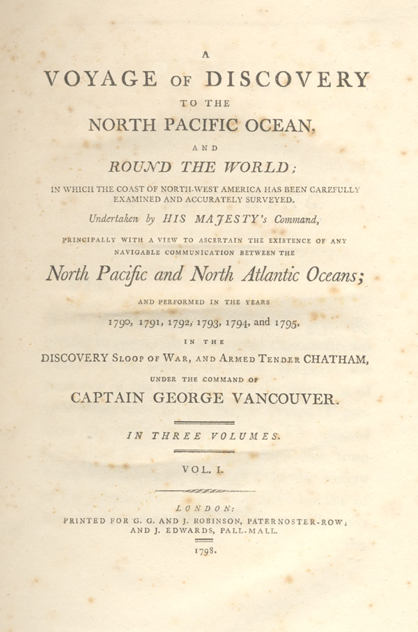
Vancouver returned to England in September 1795. He retired a month after his return and settled in Petersham, where he spent his time writing an account of his voyage of exploration. He was about to finish it when he died prematurely in May 1798. He was only 40 years old. His brother, John, completed the manuscript, which was published a few months later. Every year, British Columbia organizes a commemorative ceremony at Vancouver's tomb at St. Peter's cemetery in Petersham. Hundreds of place names that Vancouver had chosen to describe the west coast of North America are still used today and remind us of his expedition. |