|
|
Français | Help |
|
|
Important Notices |
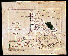
| Southwestern Ontario, 1832 In 1831, Tazewell, the maker of this map, published the first map ever printed in Ontario. This map shows how important the sale of the Canada Company lands was to settlement of the province at the time.Catalogue entry: Ref. No.: NMC 002860
|
|
|