|
Back to Natural Environment Introduction The Beginning Puddingstone |
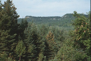
About one million years ago the climate began to cool and snow and ice began to accumulate from year to year, until huge ice sheets called glaciers developed. Over these next million years the ice came and went at least four times, and each time rendered significant changes to the landscape in the area. The advancing ice was believed to be more than two kilometers thick. It picked up loose rocks and boulders that cut and scraped the bedrock in their paths. You may notice that the northeast end of most of the mountains in the area, are scraped bare to the rock. This glacial erosion stripped away some of the old sedimentary rocks and lava flows and exposed more of the ancient granite masses which had intruded into the area long ago. As the glaciers melted 10 000 years ago meltwater lakes flooded this area. Meltwater rivers entered the glacial lake, called Lake Algonquin, dropping their sediments, forming sand and gravel deltas.
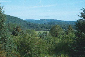
After the glaciers subsided the land began to rise up because the great load of ice was gone, and the glacial lake levels began to lower because of drainage outlets which formed. Deltaic deposits of clay, sand, and gravel were left above the water line, and this is now our farm land. |