 |
Harrops Point |
 |
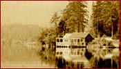
| Harrops Point was named for its original
owners Bert and Agnes Harrop. The couple ran the Floating Tearoom,
a definite lunch destination for many Rainbow Lodge guests. Today,
it is the location of the YHA Youth Hostel. |
| |
 |
Lost Lake |
 |
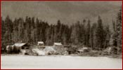
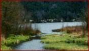
| Lost Lake was originally the site
of a logging mill. However, it was so picturesque that is was also
a popular place for picnics and swimming. While the mill is no longer
there, the lake is now a park and remains a beautiful place for a
sunny summer day. |
| |
 |
Mountain Views |
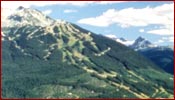 |
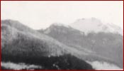
| Whistler Mountain. |
| |
 |
|
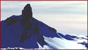 |
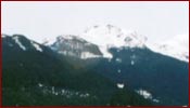
| Black Tusk, which is located just
south of Whistler. |
| |
 |
|
 |
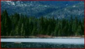
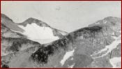
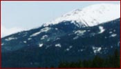
| Whistler Mountain, as seen from the
shore of Rainbow Lake. |
| |
 |
|
 |
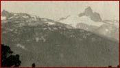
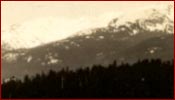
| Looking north from Rainbow Lodge/Park. |
| |
 |
Rainbow Creek |
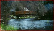 |
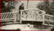
| The first Bridge of Sighs (left) was
built by Alex Philip. The present bridge is a replica of Alex's and
is still used by park goers. |
| |
 |
|
 |
| |
|
|
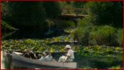 |
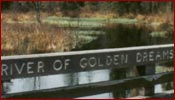
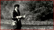
River of Golden Dreams |
 |
 |
|
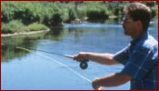 |
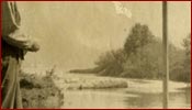
| Fishing in the River of Golden Dreams. |
| |
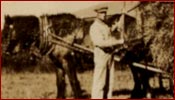 |
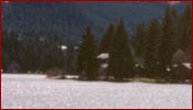
Tapleys Farm |
 |
| |
|
|
 |
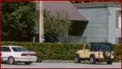
Sea to Sky Highway |
 |
| The route to Alta Lake - originally
the rugged Pemberton Trail, is now the scenic Sea to Sky Highway. |
| |