| |
|
|
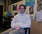
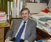
Wayne Hamilton, Nova Scotia Department of Education.
|
|
Click below to listen to an interview with Wayne Hamilton.
|
|
Click to view video I (85 K)
|
|
|
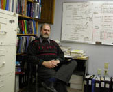
Gordon Fader, Marine Geologist, Geological Survey of Canada.
|
|
Click below to listen to an interview with Gordon Fader.
|
|
Click to view video I (84 K)
|
|
|
Cartographers work in federal, provincial/state, and municipal governments in departments like land use planning, the military, and of course the departments of environment, forestry, and natural resources. They work in junior and senior high schools, and community colleges, and in universities as professors, map curators and librarians, and as cartographers-in-residence. Cartographers work in private companies, sometimes making maps for other people, and sometimes just for the company itself.
Who Needs Cartographers Anyway?
Everyone needs cartographers. Cartographers help us to understand where "here" is from "there" (where does your email pen pal in Japan live exactly?), how to get there from here (what bus do I take to get to that new multiplex movie theatre?), and what "here" and "there" look like (how flat is Saskatchewan, and are the Rocky Mountains really all that tall?). With maps, we can understand what land features look like, how big a city is, or where farms are located. Maps can show where a good place to build a new pizza restaurant is by showing us how many pizza restaurants are already there, and how many people live nearby. Whatever would we do without maps and the cartographers who create them?
|