![[graphic]](91/h3-vtb51.jpg)


![[graphic]](91/h3-vtb00.jpg)
|

|
David Thompson: The Man Who Looks at Stars
Mapping the West: Boundary Commission
1817 - 1827
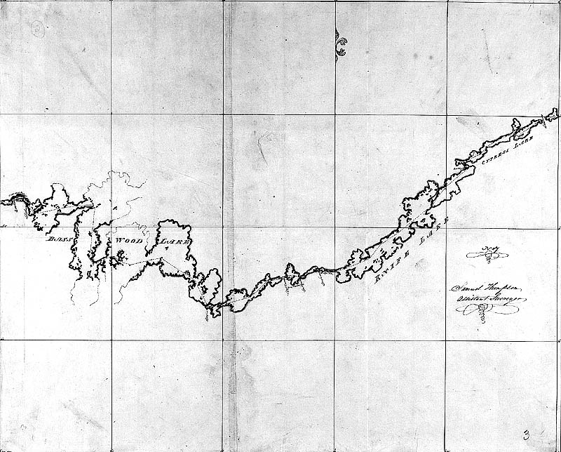
From 1817 till 1827, Thompson worked for the Boundary Commission created to map the border between Canada and the United States. He mapped from Saint Regis to Lake of the Woods. Although the 49th parallel was set as the border in 1818, it was not until the Oregon Treaty of 1846 that the exact border was finally decided.
 |
A map drawn by David Thompson and his son, Samuel, defining the border between Canada and the United States
Copyright/Source |
|