 |
Cook's ship moored in Resolution Cove, Nootka Sound, British Columbia
© National Archives of Canada/C-011201
Source: National Archives of Canada
|
 |
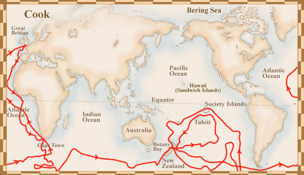
Cook's first voyage was to the South Pacific Ocean
© National Library of Canada
Source: National Library of Canada
|
 |
During his second voyage, Cook tried to find out if there was land at the South Pole
© National Library of Canada
Source: National Library of Canada
|
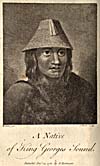 |
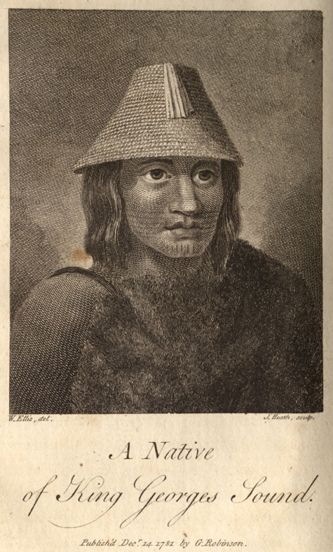
Native of King George's Sound
© Public Domain
An Authentic Narrative of a Voyage Performed by Captain Cook and Captain Clerke,
W. Ellis. London: Printed for G. Robinson, J. Sewell and J. Debrett, 1782.
Source: National Library of Canada
|
 |
During his third voyage to try and find the Northwest Passage, Cook became the first European to land on Vancouver Island
© National Library of Canada
Source: National Library of Canada
|
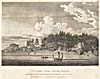 |
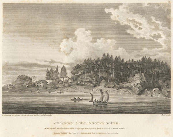
View of habitations, Nootka Sound
© Public Domain
A Voyage to the Pacific Ocean: Undertaken by the Command of His Majesty, for Making Discoveries in the Northern West Side of North America
; James Cook and James King. London: Printed by W. and A. Strahan for G. Nicol, and T. Cadell, 1784.
Source: National Library of Canada
|
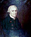 |
George Vancouver
© B.C. Archives
Image courtesy of B.C. Archives -PDP02252
Source: B.C. Archives, Visual Records Catalogue
|
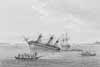 |
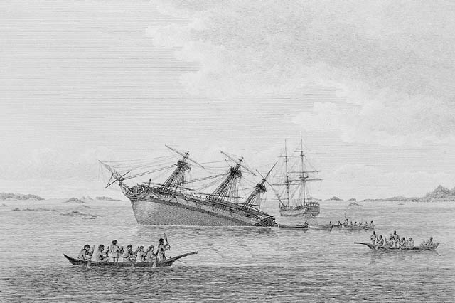
The Discovery on the rocks in Queen Charlotte's Sound
© Public Domain
A Voyage of Discovery to the North Pacific, and Round the World...; George Vancouver. London: Printed for John Stockdale, 1801
Source: National Library of Canada
|
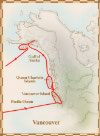 |
Vancouver and his expedition members mapped the west coast of North America from what is now northern Mexico to present-day British Columbia
© National Library of Canada
Source: National Library of Canada
|