 |
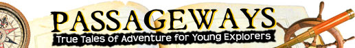
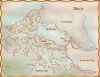
Davis returned from his second voyage certain that he knew the location of the Northwest Passage
© National Library of Canada
Source: National Library of Canada
|
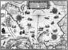 |
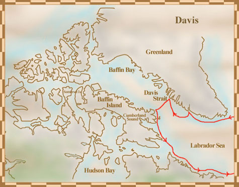
Trading map based on Davis's explorations
© Public Domain
Credit: National Archives of Canada/NMC-21063
Source: National Archives of Canada
|
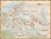 |
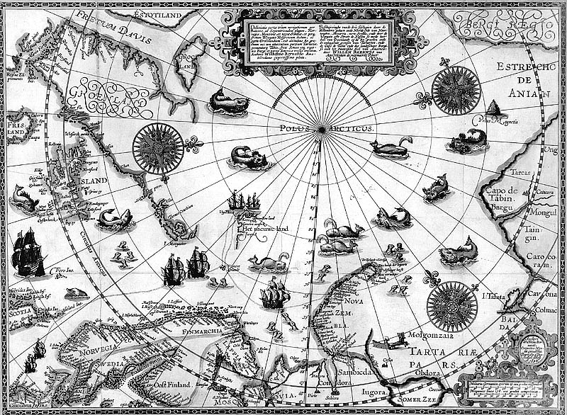
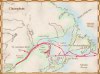
On Davis's first voyage, he sailed 290 kilometers into Cumberland Sound before turning back to England, certain that he had found a route to Asia
© National Library of Canada
Source: National Library of Canada
|
 |
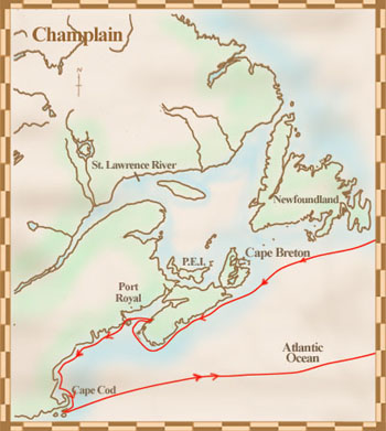
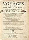
Champlain's map of eastern Canada
© Public Domain
Les voyages de la Novvelle France occidentale, dicte Canada: faites par le Sr. De Champlain, Xainctongeois, capitaine pour le Roy en la Marine du Ponant, & toutes les descouuertes qu'il a faites en ce païs depuis l'an 1603,
Samuel de Champlain. Paris: Chez Louis Sevestre
, 1632.
Source: National Library of Canada
|
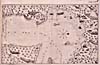 |
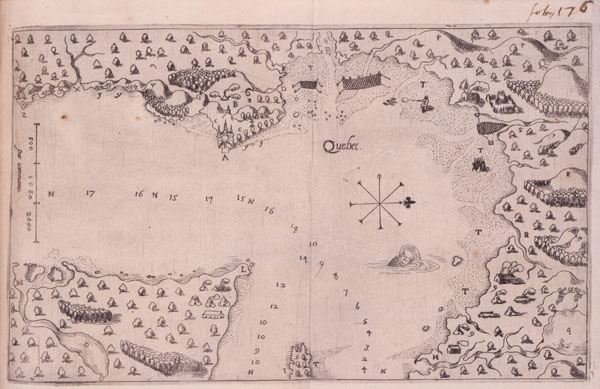
Champlain's map of Québec
© Public Domain
Les voyages dv sievr de Champlain, Xaintongeois, capitaine ordinaire pour le Roy en la marine, divisez en devx livres, ou, Iovrnal très-fidèle des observations faites, és decouuertures de la Nouuelle France
; Samuel de Champlain. Paris: Chez Iean Berjon
, 1613.
Source: National Library of Canada
|
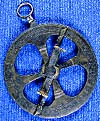 |
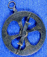
Champlain's astrolabe
© Canadian Museum of Civilization
Artifact 989.56.1
Photo S90-640
www.civilisations.ca
Source: Canadian Museum of Civilization
|
 |
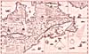
Champlain explored the area called New France on his first voyage
© National Library of Canada
Source: National Library of Canada
|
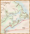 |
On his second voyage, Champlain mapped the eastern coastline from Cape Breton to Cape Cod
© National Library of Canada
Source: National Library of Canada
|
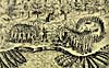 |
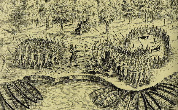
Sketch showing Champlain in battle
© Public Domain
Les voyages dv sievr de Champlain, Xaintongeois, capitaine ordinaire pour le Roy en la marine, divisez en devx livres, ou, Iovrnal très-fidèle des observations faites, és decouuertures de la Nouuelle France
; Samuel de Champlain. Paris: Chez Iean Berjon
, 1613.
|
 |
Title page of Champlain's published account of his voyages
© Public Domain
Les voyages de la nouvelle France occidentale, dicte Canada faits par le S' de Champlain; Samuel de Champlain; Paris : Chez Claude Collet, 1632.
Source: National Library of Canada
|
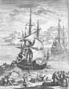 |
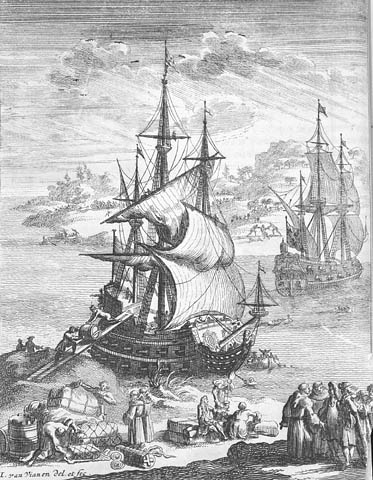
17th-century galleon
© Public Domain
Credit: National Archives of Canada/C-099234
Source: National Archives of Canada
|