|
LESSON ONE
Immigration and Exploration
Time: One period (40 minutes)
Expectations:
Students will:
-
use an atlas to find information.
-
plot Aboriginal settlements in New France on a map.
-
plot French settlements in New France on a map.
-
demonstrate an understanding of where exactly the French lived.
Preparation:
Lesson Plan:
-
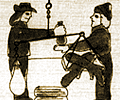
At the beginning of the class, have on the over head projector, the image
of New France. (Overheads can be printed directly from the Internet
using a colour printer and proper overhead transparencies that are printer-friendly.)
Have the students analyze the picture and tell you what they see. Be sure
to cover the topic of who is in the picture and approximately where it
is. Introduce the unit by explaining that they will be learning about
New France and those who came to live here.
-
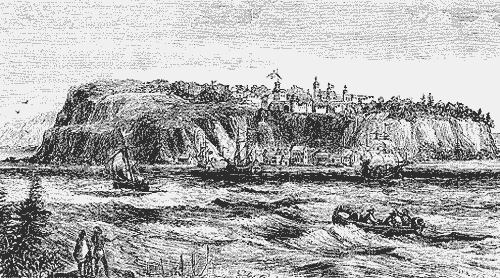
Using the atlases (or a projected image of the map
of New France 1720), have students plot Aboriginal and French settlements
in New France on the map of North America.
Evaluation Opportunities:
-
teacher informal observation of student participation in picture analysis
-
teacher observation of students' working habits
-
teacher marks map
|