|
|
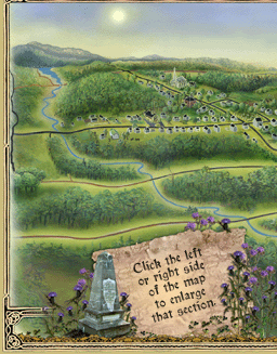
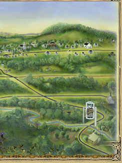
This map of Inverness and its main roads were designed by Hélène Coulombe, a local artist. The bird's eye view shows an outline of the hilly landscape as well as the main historical buildings of the village and township. This map, accompanied by a historical toponymy pamphlet, is given to the visitors of the Celtic Way to guide them in their tour. You can now take a virtual tour of Inverness by clicking on one of the two sides to the map below to enlarge either the south-eastern or north-western section of the map. Scroll your cursor over buildings and monuments to see their names. Click on these names to open a window that contains a description and an image of the building. Enjoy your visit!
|