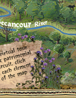
|
|

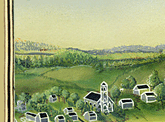
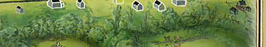
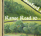
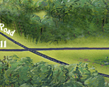
Here is a view of the north-western part of Inverness. Leaving the village by Gosford Road towards the North, you will arrive at Lysander Falls and across the bridge, at the Chicken Coop. If you were to turn left onto le Rang 10-11 before you reached the falls, you would find yourself at Rectory Hill, at the center of which stands the steeple of St. Stephen’s Church. St. Stephen’s, formerly an Anglican Church, has been converted into a cultural centre.
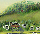
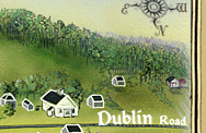
Scroll over the map with your cursor in order to discover new places, such as the Law Court (Bronze Museum), the Methodist Church (art foundry), St. Andrew's Church and the old Royal Bank.
Royal Bank building
Methodist Church
St. Andrew's Church
St. Stephen's Church
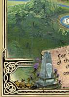
The Scottish Monument
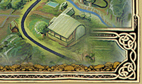
The Chicken Coop
Lysander Falls
The Court House
|